Tattakota
Huts
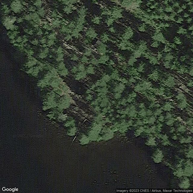
Description: Signs to Tattakoda starts along the Majalahdentie, continue straight on the road to the South Shore. The road narrows and curves to the left. From the T-junction, select the route to the left. Continue along the track until the turn is to the left and you are on the Kodan boom. Coordinates: 61 40.267 N, 27 6.691 E Parking space: There are several parking spaces along the track and closest to the boom. There is a wooden shed in the yard of the Koda. Koda's yard is quite accessible and suitable for families with children. The hut is located in the watercourse onshore. The hut is not locked. Sitting space for about 15 people. There are no windows in the home, so the hut is obscure. There is a trash in the yard of Koda. A large campfire site in the yard of the Koda on the shore of the pond. Possibility to fish.
Type of Hut:: Open Hut
At the location:: WC
Is it free?: Free
Region:: Etelä-Savo
City:: Mikkeli
Neighborhood:: Otava