Köngäs Circuit – Hyrynsalmi
Route


Description
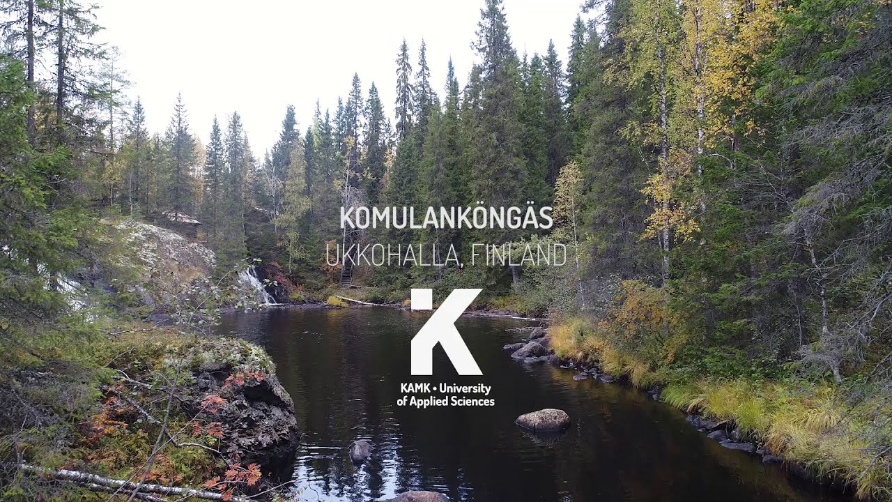
For Komulanköngäs falls, the Vorloki gorge, and how they sit on the UKK hiking corridor, the Hyrynsalmi municipality sightseeing pages are the clearest official introduction. Ylä-Kainuu reported that the full Köngäskierros between the Ukkohalla and Paljakka areas was being opened and upgraded to roughly 60 km for bo...
Managed by
Hyrynsalmi
Official Maintenance
Trail info
Either direction is practical; many weekend visitors stage a car at Komulankönkään pysäköintipaikka for a shorter waterfall hike, while through-hikers link car drops at opposite ends of the 32 km line.
Route direction
Green markers on Kokkoharju/Köngäskierros branches, blue markers on UKK-reitti; carry a map at crowded junctions near Ukkohalla.
Route Signs
Open / Good Condition
Open / Good Condition
Activities allowed
Bike
Activity
Hike / Walk
Activity
Terrain & conditions
32.1 km
Distance
Most fit hikers need a long single day (roughly 9–12 hours) for the full 32 km, or two easier days using Lietekylän kota and Joutensuon kota as overnight poles.
Est. Time
Dirt / Gravel
Surface
Point-to-Point, Single Track, Wide Track
Route Type
Light Traffic
Traffic
2023
Renovation years
Location
Explore nearby

Rate & Review
Be the first to write a review for "Köngäs Circuit – Hyrynsalmi"
Share a photo from a recent trip
Answers to your questions
Our data was researched from Hyrynsalmi, and other trusted sources, in March 2026. Our route / place GPX data comes from Metsähallitus / Lipas, last updated March 2026. Always check their official website for safety-critical updates.
Köngäs Circuit – Hyrynsalmi32.1 km
Route
Video
Videos
Description
For Komulanköngäs falls, the Vorloki gorge, and how they sit on the UKK hiking corridor, the Hyrynsalmi municipality sightseeing pages are the clearest official introduction. Ylä-Kainuu reported that the full Köngäskierros between the Ukkohalla and Paljakka areas was being opened and upgraded to roughly 60 km for bo...
Managed by
Hyrynsalmi
Official Maintenance
Trail info
Location
Either direction is practical; many weekend visitors stage a car at Komulankönkään pysäköintipaikka for a shorter waterfall hike, while through-hikers link car drops at opposite ends of the 32 km line.
Route direction
Green markers on Kokkoharju/Köngäskierros branches, blue markers on UKK-reitti; carry a map at crowded junctions near Ukkohalla.
Route Signs
Open / Good Condition
Open / Good Condition
Activities allowed
Bike
Activity
Hike / Walk
Activity
Terrain & conditions
32.1 km
Distance
Most fit hikers need a long single day (roughly 9–12 hours) for the full 32 km, or two easier days using Lietekylän kota and Joutensuon kota as overnight poles.
Est. Time
Dirt / Gravel
Surface
Point-to-Point, Single Track, Wide Track
Route Type
Light Traffic
Traffic
2023
Renovation years
Explore nearby
Rate & Review
Be the first to write a review for "Köngäs Circuit – Hyrynsalmi"
Share a photo from a recent trip
Answers to your questions
Our data was researched from Hyrynsalmi, and other trusted sources, in March 2026. Our route / place GPX data comes from Metsähallitus / Lipas, last updated March 2026. Always check their official website for safety-critical updates.