Varisjärvi–Saarijärvi Trail
Route


Description
For the latest on trail conditions, seasonal access, and printable maps, start with Visit Suomussalmi’s Haverinen–Varisjärvi route page. Local tourism services also list where to pick up brochures and general visitor information for Ämmänsaari. The trail is about 35.2 km as one point-to-point line through Suomus...
Managed by
Trail info
Point-to-point. Municipal materials usually describe the outing from Hotelli Kiannon Kuohut (Jalonkatu 1) or from Haverinen ski centre for the Varisjärvi loop; you can join the same network at Venäläisenaho or finish near Aittokoski laavu. Either direction is possible; the line is not a loop.
Route direction
Recreation Area
Recreation Area
Lake
Lake
River
River
Green and white paint on trees (per Visit Suomussalmi route description).
Route Signs
Activities allowed
Hike / Walk
Activity
Terrain & conditions
35.2 km
Distance
Allow roughly nine to twelve hours for the full 35 km in summer conditions, depending on pace and breaks; shorter sections suit half-day outings from Haverinen or town.
Est. Time
Forest paths and local connecting tracks; Visit Suomussalmi notes a poorer-condition segment on its PDF map and recommends the dashed Aittokoskentie approach to Varisköngäs when footing is uncertain.
Surface
Point-to-Point, Single Track
Route Type
Partial Shade
Shade
Light Traffic
Traffic
Location


Rate & Review
Be the first to write a review for "Varisjärvi–Saarijärvi Trail"
Share a photo from a recent trip
Answers to your questions
Our data was researched from Suomussalmi, and other trusted sources, in March 2026. Our route / place GPX data comes from Metsähallitus / Lipas, last updated March 2026. Always check their official website for safety-critical updates.
Varisjärvi–Saarijärvi Trail35.2 km
Route
Video
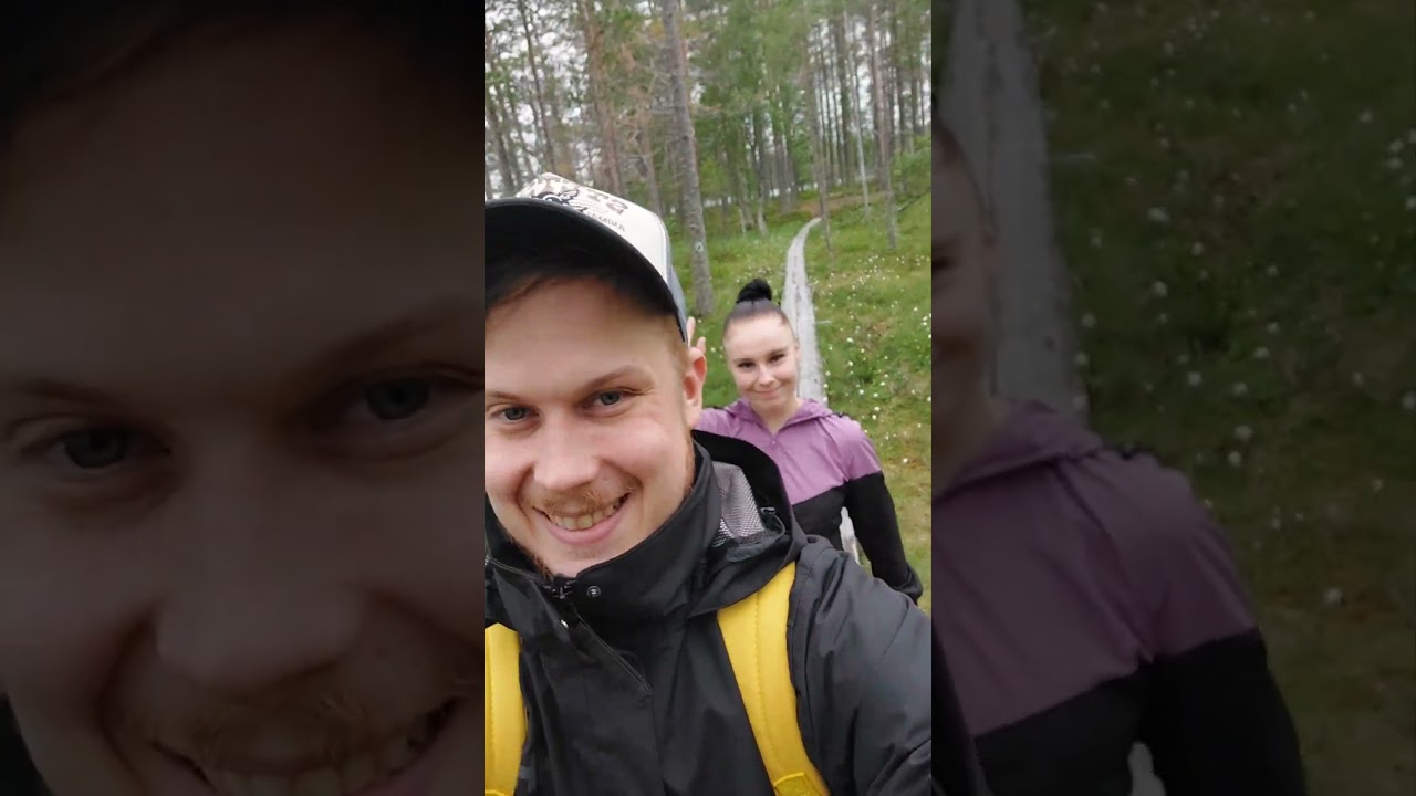
Videos
Description
For the latest on trail conditions, seasonal access, and printable maps, start with Visit Suomussalmi’s Haverinen–Varisjärvi route page. Local tourism services also list where to pick up brochures and general visitor information for Ämmänsaari. The trail is about 35.2 km as one point-to-point line through Suomus...
Managed by
Trail info
Location
Point-to-point. Municipal materials usually describe the outing from Hotelli Kiannon Kuohut (Jalonkatu 1) or from Haverinen ski centre for the Varisjärvi loop; you can join the same network at Venäläisenaho or finish near Aittokoski laavu. Either direction is possible; the line is not a loop.
Route direction
Recreation Area
Recreation Area
Lake
Lake
River
River
Green and white paint on trees (per Visit Suomussalmi route description).
Route Signs
Activities allowed
Hike / Walk
Activity
Terrain & conditions
35.2 km
Distance
Allow roughly nine to twelve hours for the full 35 km in summer conditions, depending on pace and breaks; shorter sections suit half-day outings from Haverinen or town.
Est. Time
Forest paths and local connecting tracks; Visit Suomussalmi notes a poorer-condition segment on its PDF map and recommends the dashed Aittokoskentie approach to Varisköngäs when footing is uncertain.
Surface
Point-to-Point, Single Track
Route Type
Partial Shade
Shade
Light Traffic
Traffic
Rate & Review
Be the first to write a review for "Varisjärvi–Saarijärvi Trail"
Share a photo from a recent trip
Answers to your questions
Our data was researched from Suomussalmi, and other trusted sources, in March 2026. Our route / place GPX data comes from Metsähallitus / Lipas, last updated March 2026. Always check their official website for safety-critical updates.