Taivaskero Circle Trail
Route
Description
For national park rules, seasonal restrictions, and the official description of this hike, use the Taivaskeron kierros trail page on Luontoon.fi. Retkipaikka’s Luontopolkumies walk-through adds practical detail on how the marked route meets and then leaves the Hetta–Pallas corridor, and how the climb and descent fee...
Managed by
Trail info
Many sources describe walking the round counter-clockwise as the signed option; you can also discuss direction with staff at the visitor centre.
Route direction
National Park
Area
Green route marking on area maps; yellow-topped posts on the shared Hetta–Pallas leg; follow the Taivaskeron kierros symbols where routes cross.
Route Signs
Open / Good Condition
Open / Good Condition
Activities allowed
Hike / Walk
Activity
Terrain & conditions
8.3 km
Distance
About 3–3.5 hours of walking for most adults, longer if you photograph or wait out weather.
Est. Time
Gravel and sand on lower slopes; rock and block fields on steeper fell sections; forest path near lifts
Surface
Loop, Single Track, Wide Track
Route Type
Moderate Traffic
Traffic
No Shade
Shade
Location
Explore nearby
Rate & Review
Be the first to write a review for "Taivaskero Circle Trail"
Share a photo from a recent trip
Answers to your questions
Our data was researched from Muonio, and other trusted sources, in March 2026. Our route / place GPX data comes from Metsähallitus / Lipas, last updated March 2026. Always check their official website for safety-critical updates.
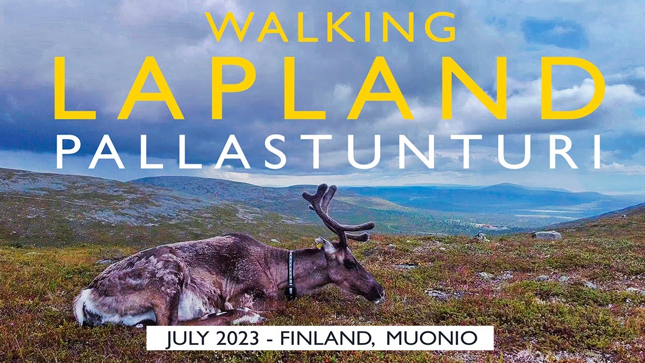
Taivaskero Circle Trail8.3 km
Route
Video
Videos
Description
For national park rules, seasonal restrictions, and the official description of this hike, use the Taivaskeron kierros trail page on Luontoon.fi. Retkipaikka’s Luontopolkumies walk-through adds practical detail on how the marked route meets and then leaves the Hetta–Pallas corridor, and how the climb and descent fee...
Managed by
Trail info
Location
Many sources describe walking the round counter-clockwise as the signed option; you can also discuss direction with staff at the visitor centre.
Route direction
National Park
Area
Green route marking on area maps; yellow-topped posts on the shared Hetta–Pallas leg; follow the Taivaskeron kierros symbols where routes cross.
Route Signs
Open / Good Condition
Open / Good Condition
Activities allowed
Hike / Walk
Activity
Terrain & conditions
8.3 km
Distance
About 3–3.5 hours of walking for most adults, longer if you photograph or wait out weather.
Est. Time
Gravel and sand on lower slopes; rock and block fields on steeper fell sections; forest path near lifts
Surface
Loop, Single Track, Wide Track
Route Type
Moderate Traffic
Traffic
No Shade
Shade
Explore nearby
Rate & Review
Be the first to write a review for "Taivaskero Circle Trail"
Share a photo from a recent trip
Answers to your questions
Our data was researched from Muonio, and other trusted sources, in March 2026. Our route / place GPX data comes from Metsähallitus / Lipas, last updated March 2026. Always check their official website for safety-critical updates.