Kontionpolut / Kontioniemi Trail
Route
Description
For grading, tread types, red markings in the forest, and winter maintenance policy, take the Kontionpolut / Kontioniemi Trail page on Luontoon.fi as your first stop. Municipality of Kontiolahti describes Kontionpolut on Jaamankangas as the municipality’s main marked network for mountain biking, trail running, and w...
Managed by
Trail info
Recreation Area
Recreation Area
Lake
Lake
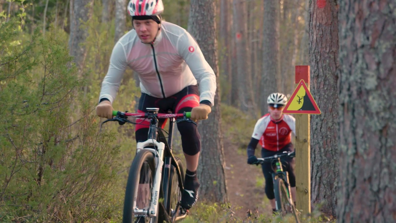
Red paint on trees and matching red information on signboards per Luontoon.fi. Visit Karelia repeats red field marking and notes a colour hand-off toward the blue Kontionpolut / Stadium Trail.
Route Signs
Open / Good Condition
Open / Good Condition
Activities allowed
Bike
Activity
Hike / Walk
Activity
Run
Activity
Terrain & conditions
9 km
Distance
Often around 1–2 hours by mountain bike depending on photo stops; regional pages use roughly 1,5 hours as an indicative time.
Est. Time
Natural path, partly ski-track base and gravel road, summarised on Luontoon.fi. Expect mixed forest singletrack, short-road links, and occasional boardwalk near wetland edges according to rider accounts.
Surface
Point-to-Point, Single Track
Route Type
Partial Shade
Shade
Light Traffic
Traffic
Location
Explore nearby
Rate & Review
Be the first to write a review for "Kontionpolut / Kontioniemi Trail"
Share a photo from a recent trip
Answers to your questions
Our data was researched from Kontiolahti, and other trusted sources, in March 2026. Our route / place GPX data comes from Metsähallitus / Lipas, last updated March 2026. Always check their official website for safety-critical updates.
Kontionpolut / Kontioniemi Trail9 km
Route
Video
Videos
Description
For grading, tread types, red markings in the forest, and winter maintenance policy, take the Kontionpolut / Kontioniemi Trail page on Luontoon.fi as your first stop. Municipality of Kontiolahti describes Kontionpolut on Jaamankangas as the municipality’s main marked network for mountain biking, trail running, and w...
Managed by
Trail info
Location
Recreation Area
Recreation Area
Lake
Lake
Red paint on trees and matching red information on signboards per Luontoon.fi. Visit Karelia repeats red field marking and notes a colour hand-off toward the blue Kontionpolut / Stadium Trail.
Route Signs
Open / Good Condition
Open / Good Condition
Activities allowed
Bike
Activity
Hike / Walk
Activity
Run
Activity
Terrain & conditions
9 km
Distance
Often around 1–2 hours by mountain bike depending on photo stops; regional pages use roughly 1,5 hours as an indicative time.
Est. Time
Natural path, partly ski-track base and gravel road, summarised on Luontoon.fi. Expect mixed forest singletrack, short-road links, and occasional boardwalk near wetland edges according to rider accounts.
Surface
Point-to-Point, Single Track
Route Type
Partial Shade
Shade
Light Traffic
Traffic
Explore nearby
Rate & Review
Be the first to write a review for "Kontionpolut / Kontioniemi Trail"
Share a photo from a recent trip
Answers to your questions
Our data was researched from Kontiolahti, and other trusted sources, in March 2026. Our route / place GPX data comes from Metsähallitus / Lipas, last updated March 2026. Always check their official website for safety-critical updates.