Matkalampi Trail (Kinttupolut)
Route
Description
Matkalampi Trail is a medium-length forest route in Liperi’s Kinttupolut network (about 65 km across seven linked circuits east of Joensuu). The City of Liperi maintains maps, GPX files, rest-area details, and rule updates for the whole system on its Kinttupolut pages. Visit North Karelia describes Matkalampi Trail...
Managed by
Trail info
Marked two-way; primary starts are Honkalampi beach and Sompalampi per the City of Liperi. You can link onward to Kinttupolut / Pahakala Trail at Vaaralammen kota and to Kinttupolut / Jyri Trail at Sompalammen laavu.
Route direction
Blue paint marks and junction boards; spacing is wider on short gravel road sections but the line stays visible.
Route Signs
Dogs (On Leash)
Dogs
Open / Good Condition
Open / Good Condition
Activities allowed
Run
Activity
Hike / Walk
Activity
Bike
Activity
Terrain & conditions
15.7 km
Distance
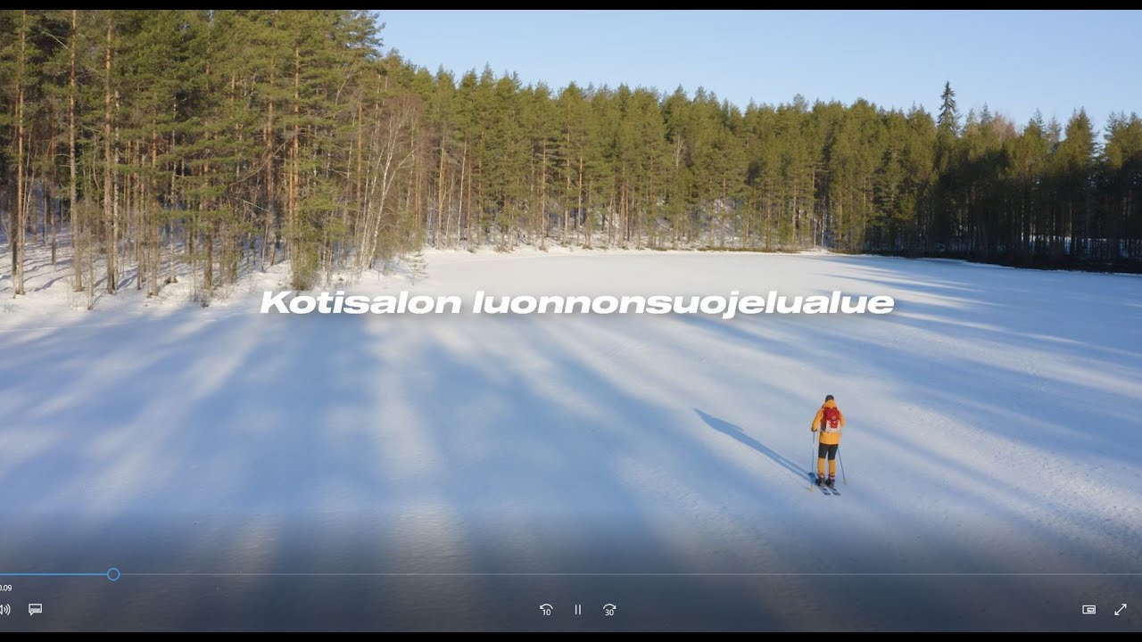
About 2–4 hours of steady walking for the full distance, or longer with breaks at Vaaralammen kota, Sompalammen laavu, Kotisalo, and Honkalammen beach.
Est. Time
Needle-carpet forest paths, ski-track bases, cart tracks, short rocky ridge sections, and gravel road connectors; some stone steps near Kotisalo.
Surface
Single Track
Route Type
Location
Explore nearby
Rate & Review
Be the first to write a review for "Matkalampi Trail (Kinttupolut)"
Share a photo from a recent trip
Answers to your questions
Our data was researched from Liperi, and other trusted sources, in March 2026. Our route / place GPX data comes from Metsähallitus / Lipas, last updated March 2026. Always check their official website for safety-critical updates.
Matkalampi Trail (Kinttupolut)15.7 km
Route
Video
Videos
Description
Matkalampi Trail is a medium-length forest route in Liperi’s Kinttupolut network (about 65 km across seven linked circuits east of Joensuu). The City of Liperi maintains maps, GPX files, rest-area details, and rule updates for the whole system on its Kinttupolut pages. Visit North Karelia describes Matkalampi Trail...
Managed by
Trail info
Location
Marked two-way; primary starts are Honkalampi beach and Sompalampi per the City of Liperi. You can link onward to Kinttupolut / Pahakala Trail at Vaaralammen kota and to Kinttupolut / Jyri Trail at Sompalammen laavu.
Route direction
Blue paint marks and junction boards; spacing is wider on short gravel road sections but the line stays visible.
Route Signs
Dogs (On Leash)
Dogs
Open / Good Condition
Open / Good Condition
Activities allowed
Run
Activity
Hike / Walk
Activity
Bike
Activity
Terrain & conditions
15.7 km
Distance
About 2–4 hours of steady walking for the full distance, or longer with breaks at Vaaralammen kota, Sompalammen laavu, Kotisalo, and Honkalammen beach.
Est. Time
Needle-carpet forest paths, ski-track bases, cart tracks, short rocky ridge sections, and gravel road connectors; some stone steps near Kotisalo.
Surface
Single Track
Route Type
Explore nearby
Rate & Review
Be the first to write a review for "Matkalampi Trail (Kinttupolut)"
Share a photo from a recent trip
Answers to your questions
Our data was researched from Liperi, and other trusted sources, in March 2026. Our route / place GPX data comes from Metsähallitus / Lipas, last updated March 2026. Always check their official website for safety-critical updates.