Rokua mountain bike routes
Route
Description
Managed by
Utajärvi
Official Maintenance
Trail info
Rideable in either direction; follow the posted mountain bike symbols on marked lines inside the park.
Route direction
National Park
Area
Recreation Area
Recreation Area
Lake
Lake
Marked as Finland’s official mountain bike network with map and on-ground symbols; carry the geopark MTB PDF or Outdooractive layer for junction detail.
Route Signs
Open / Good Condition
Open / Good Condition
Activities allowed
Bike
Activity
Terrain & conditions
41.4 km
Distance
About 3–5 hours of pedal time for fit riders on the full mapped line; allow most of a day with kota stops and photo breaks.
Est. Time
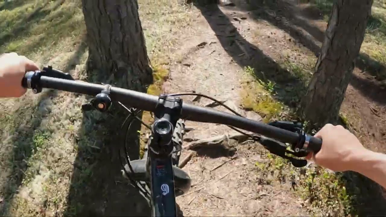
Wide forest and dune tracks with gravel connectors, short sandy sections beside lakes, and limited technical rock or root beds on the main marked network.
Surface
Point-to-Point, Single Track, Wide Track
Route Type
Partial Shade
Shade
Light Traffic
Traffic
Location
Explore nearby
Rate & Review
Be the first to write a review for "Rokua mountain bike routes"
Share a photo from a recent trip
Answers to your questions
Our data was researched from Utajärvi, and other trusted sources, in March 2026. Our route / place GPX data comes from Metsähallitus / Lipas, last updated March 2026. Always check their official website for safety-critical updates.
Rokua mountain bike routes41.4 km
Route
Video
Videos
Description
Managed by
Utajärvi
Official Maintenance
Trail info
Location
Rideable in either direction; follow the posted mountain bike symbols on marked lines inside the park.
Route direction
National Park
Area
Recreation Area
Recreation Area
Lake
Lake
Marked as Finland’s official mountain bike network with map and on-ground symbols; carry the geopark MTB PDF or Outdooractive layer for junction detail.
Route Signs
Open / Good Condition
Open / Good Condition
Activities allowed
Bike
Activity
Terrain & conditions
41.4 km
Distance
About 3–5 hours of pedal time for fit riders on the full mapped line; allow most of a day with kota stops and photo breaks.
Est. Time
Wide forest and dune tracks with gravel connectors, short sandy sections beside lakes, and limited technical rock or root beds on the main marked network.
Surface
Point-to-Point, Single Track, Wide Track
Route Type
Partial Shade
Shade
Light Traffic
Traffic
Explore nearby
Rate & Review
Be the first to write a review for "Rokua mountain bike routes"
Share a photo from a recent trip
Answers to your questions
Our data was researched from Utajärvi, and other trusted sources, in March 2026. Our route / place GPX data comes from Metsähallitus / Lipas, last updated March 2026. Always check their official website for safety-critical updates.