Suonenjoki River kayaking route
Route
Description
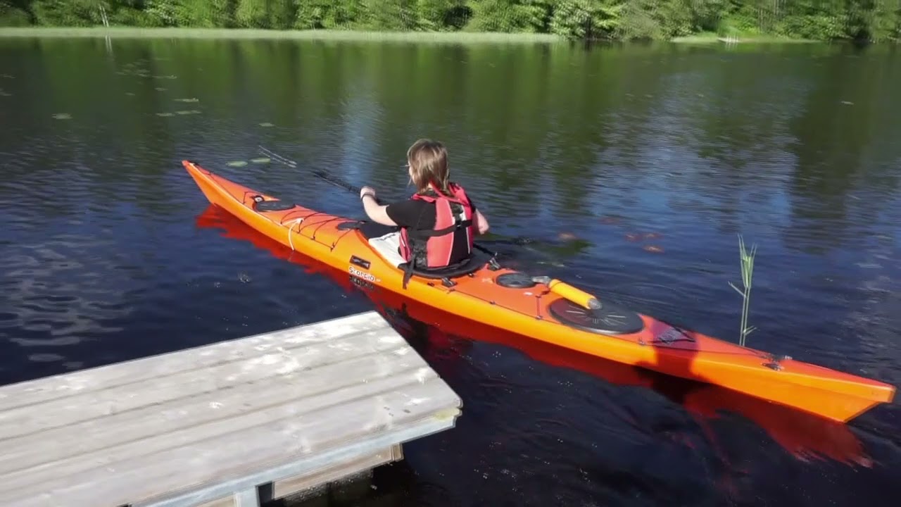
The Suonenjoki kayaking route is a long lake-and-river waterway in Inner Savonia (Sisä-Savo), North Savo. On our map it follows about 128 km of continuous line from upstream toward the Iisvesi shore band—point-to-point rather than a loop—threading river channels and open-lake sections. Visit Savo describes the classic...
Managed by
Trail info
Regional material describes travel from Kutunjoki toward Iisvesi harbour along current and lake shores. Wind and fetch on Paasvesi, Puruvesi, and Suontienselkä often dictate daily direction—plan flexibly.
Route direction
Open / Good Condition
Open / Good Condition
Activities allowed
Kayak / Canoe
Activity
Terrain & conditions
128.1 km
Distance
The widely described Kutunjoki–Iisvesi harbour segment is about 48 km—often one long day or two relaxed days for touring paddlers. The full ~128 km mapped trace suits a multi-day expedition or staged sections.
Est. Time
Point-to-Point
Route Type
Class I (Easy)
Rapids class
Class II (Moderate)
Rapids class
Lake Paddling
Water type
River Paddling
Water type
Location
Explore nearby
Rate & Review
Be the first to write a review for "Suonenjoki River kayaking route"
Share a photo from a recent trip
Answers to your questions
Our data was researched from Suonenjoki, and other trusted sources, in March 2026. Our route / place GPX data comes from Metsähallitus / Lipas, last updated March 2026. Always check their official website for safety-critical updates.
Suonenjoki River kayaking route128.1 km
Route
Video
Videos
Description
The Suonenjoki kayaking route is a long lake-and-river waterway in Inner Savonia (Sisä-Savo), North Savo. On our map it follows about 128 km of continuous line from upstream toward the Iisvesi shore band—point-to-point rather than a loop—threading river channels and open-lake sections. Visit Savo describes the classic...
Managed by
Trail info
Location
Regional material describes travel from Kutunjoki toward Iisvesi harbour along current and lake shores. Wind and fetch on Paasvesi, Puruvesi, and Suontienselkä often dictate daily direction—plan flexibly.
Route direction
Open / Good Condition
Open / Good Condition
Activities allowed
Kayak / Canoe
Activity
Terrain & conditions
128.1 km
Distance
The widely described Kutunjoki–Iisvesi harbour segment is about 48 km—often one long day or two relaxed days for touring paddlers. The full ~128 km mapped trace suits a multi-day expedition or staged sections.
Est. Time
Point-to-Point
Route Type
Class I (Easy)
Rapids class
Class II (Moderate)
Rapids class
Lake Paddling
Water type
River Paddling
Water type
Explore nearby
Rate & Review
Be the first to write a review for "Suonenjoki River kayaking route"
Share a photo from a recent trip
Answers to your questions
Our data was researched from Suonenjoki, and other trusted sources, in March 2026. Our route / place GPX data comes from Metsähallitus / Lipas, last updated March 2026. Always check their official website for safety-critical updates.