Pyhäjärvi scenic route and Pyhäjärvi circuit
Route

Description
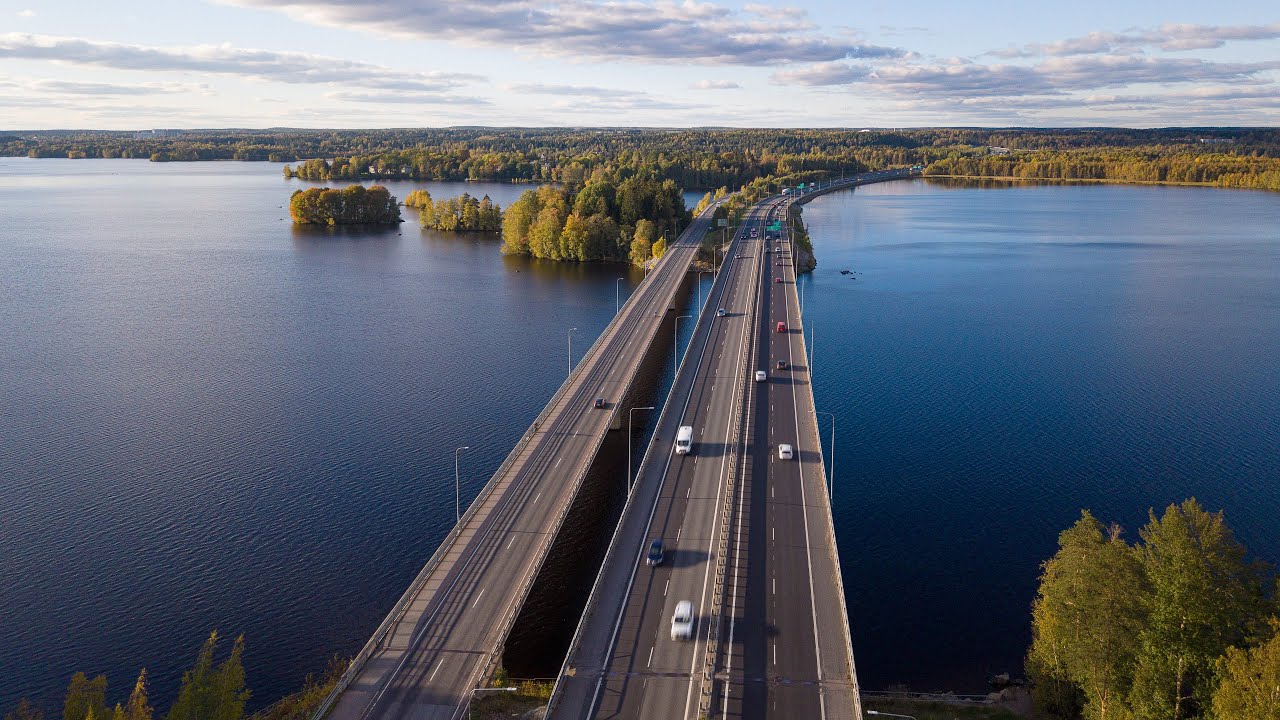
The Pyhäjärvi scenic route and Pyhäjärvi circuit together describe cycling around Lake Pyhäjärvi in the Tampere city region: a shorter, family-friendly day ride on the City of Tampere’s signed Maisemareitti, and the full lake tour that strings together shores, villages, and cultural stops across several municipalities....
Managed by
Trail info
Ride either clockwise or anticlockwise; both are common. Maisemareitti trip reports often describe the shorter loop counter-clockwise from western Tampere.
Route direction
Lake
Lake
Lake Trails marking uses stickers and small signs on posts and traffic signs; paint and stickers can fade, so carry a GPX track as backup.
Route Signs
Open / Good Condition
Open / Good Condition
Activities allowed
Bike
Activity
Terrain & conditions
119.5 km
Distance
About 1–3 days for the full lake circuit at touring pace, or a long single day for very fit riders; the Maisemareitti alone is typically a half-day family ride.
Est. Time
Mixed asphalt cycling paths, quiet paved roads, and shorter gravel or compacted earth sections on the full circuit; the Maisemareitti emphasises cycling paths with a high share of off-street riding.
Surface
Loop
Route Type
Location
Explore nearby
Rate & Review
Be the first to write a review for "Pyhäjärvi scenic route and Pyhäjärvi circuit"
Share a photo from a recent trip
Answers to your questions
Our data was researched from Pirkkala, and other trusted sources, in March 2026. Our route / place GPX data comes from Metsähallitus / Lipas, last updated March 2026. Always check their official website for safety-critical updates.
Pyhäjärvi scenic route and Pyhäjärvi circuit119.5 km
Route
Video
Videos
Description
The Pyhäjärvi scenic route and Pyhäjärvi circuit together describe cycling around Lake Pyhäjärvi in the Tampere city region: a shorter, family-friendly day ride on the City of Tampere’s signed Maisemareitti, and the full lake tour that strings together shores, villages, and cultural stops across several municipalities....
Managed by
Trail info
Location
Ride either clockwise or anticlockwise; both are common. Maisemareitti trip reports often describe the shorter loop counter-clockwise from western Tampere.
Route direction
Lake
Lake
Lake Trails marking uses stickers and small signs on posts and traffic signs; paint and stickers can fade, so carry a GPX track as backup.
Route Signs
Open / Good Condition
Open / Good Condition
Activities allowed
Bike
Activity
Terrain & conditions
119.5 km
Distance
About 1–3 days for the full lake circuit at touring pace, or a long single day for very fit riders; the Maisemareitti alone is typically a half-day family ride.
Est. Time
Mixed asphalt cycling paths, quiet paved roads, and shorter gravel or compacted earth sections on the full circuit; the Maisemareitti emphasises cycling paths with a high share of off-street riding.
Surface
Loop
Route Type
Explore nearby
Rate & Review
Be the first to write a review for "Pyhäjärvi scenic route and Pyhäjärvi circuit"
Share a photo from a recent trip
Answers to your questions
Our data was researched from Pirkkala, and other trusted sources, in March 2026. Our route / place GPX data comes from Metsähallitus / Lipas, last updated March 2026. Always check their official website for safety-critical updates.