Little Birgitta (Birgitta Trail segment)
Description
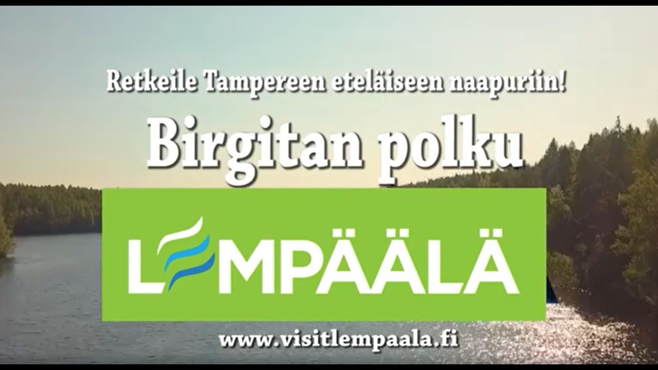
Little Birgitta is a short, linear section of the Birgitta Trail in Lempäälä, Pirkanmaa. On our map it is about 1.6 km and is not a loop; it works well as a quick nature walk close to the town centre and links into the much longer Birgitta Trail network. Luontoon.fi lists this segment under the name Birgitan polku / Pi...
Managed by
Trail info
Recreation Area
Recreation Area
Yellow paint and signs on trees and posts on the wider Birgitta Trail network.
Route Signs
Dogs (On Leash)
Dogs
Open / Good Condition
Open / Good Condition
Activities allowed
Run
Activity
Hike / Walk
Activity
Terrain & conditions
1.6 km
Distance
About 25–40 minutes at an easy walking pace.
Est. Time
Forest path and local tracks on this short segment; the full Birgitta Trail adds duckboards, sand roads, and rockier forest in places.
Surface
Point-to-Point, Single Track
Route Type
Light Traffic
Traffic
Partial Shade
Shade
Location
Rate & Review
Be the first to write a review for "Little Birgitta (Birgitta Trail segment)"
Share a photo from a recent trip
Answers to your questions
Our data was researched from Lempäälä, and other trusted sources, in March 2026. Our route / place GPX data comes from Metsähallitus / Lipas, last updated March 2026. Always check their official website for safety-critical updates.
Little Birgitta (Birgitta Trail segment)1.6 km
Video
Videos
Description
Little Birgitta is a short, linear section of the Birgitta Trail in Lempäälä, Pirkanmaa. On our map it is about 1.6 km and is not a loop; it works well as a quick nature walk close to the town centre and links into the much longer Birgitta Trail network. Luontoon.fi lists this segment under the name Birgitan polku / Pi...
Managed by
Trail info
Location
Recreation Area
Recreation Area
Yellow paint and signs on trees and posts on the wider Birgitta Trail network.
Route Signs
Dogs (On Leash)
Dogs
Open / Good Condition
Open / Good Condition
Activities allowed
Run
Activity
Hike / Walk
Activity
Terrain & conditions
1.6 km
Distance
About 25–40 minutes at an easy walking pace.
Est. Time
Forest path and local tracks on this short segment; the full Birgitta Trail adds duckboards, sand roads, and rockier forest in places.
Surface
Point-to-Point, Single Track
Route Type
Light Traffic
Traffic
Partial Shade
Shade
Rate & Review
Be the first to write a review for "Little Birgitta (Birgitta Trail segment)"
Share a photo from a recent trip
Answers to your questions
Our data was researched from Lempäälä, and other trusted sources, in March 2026. Our route / place GPX data comes from Metsähallitus / Lipas, last updated March 2026. Always check their official website for safety-critical updates.