Imatra architecture and sightseeing cycling tour
Route

Description
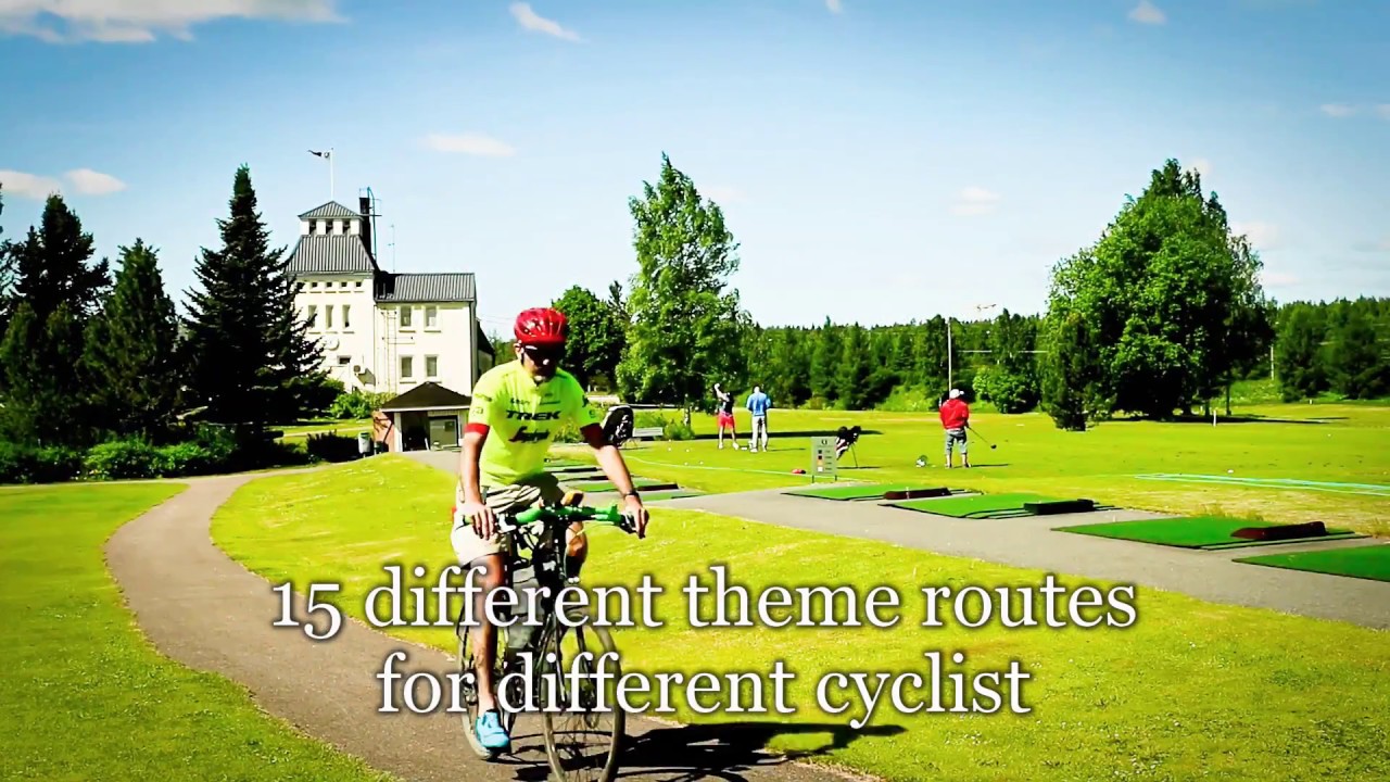
This line is one of fifteen themed cycling routes developed for South Karelia under a regional project led by the South Karelia Regional Council; travellers follow it on a phone or GPS rather than looking for paint on trees, because the original scheme prioritised digital tracks and future sign budgets were still being...
Managed by
Trail info
Ride in either direction along the open line; themed-route materials assume GPS or app navigation rather than coloured blaze following.
Route direction
Recreation Area
Recreation Area
Lake
Lake
River
River
Open / Good Condition
Open / Good Condition
Activities allowed
Bike
Activity
Terrain & conditions
39.8 km
Distance
Around 3.5 hours of steady cycling for the mapped distance without long visits; museums, church interiors, and meals push the day toward a full outing.
Est. Time
Predominantly paved urban and suburban cycleways and streets with shorter gravel connectors on links between neighbourhoods.
Surface
Point-to-Point, Wide Track
Route Type
Partial Shade
Shade
Moderate Traffic
Traffic
Location
Explore nearby
Rate & Review
Be the first to write a review for "Imatra architecture and sightseeing cycling tour"
Share a photo from a recent trip
Answers to your questions
Our data was researched from Imatra, and other trusted sources, in March 2026. Our route / place GPX data comes from Metsähallitus / Lipas, last updated March 2026. Always check their official website for safety-critical updates.
Imatra architecture and sightseeing cycling tour39.8 km
Route
Video
Videos
Description
This line is one of fifteen themed cycling routes developed for South Karelia under a regional project led by the South Karelia Regional Council; travellers follow it on a phone or GPS rather than looking for paint on trees, because the original scheme prioritised digital tracks and future sign budgets were still being...
Managed by
Trail info
Location
Ride in either direction along the open line; themed-route materials assume GPS or app navigation rather than coloured blaze following.
Route direction
Recreation Area
Recreation Area
Lake
Lake
River
River
Open / Good Condition
Open / Good Condition
Activities allowed
Bike
Activity
Terrain & conditions
39.8 km
Distance
Around 3.5 hours of steady cycling for the mapped distance without long visits; museums, church interiors, and meals push the day toward a full outing.
Est. Time
Predominantly paved urban and suburban cycleways and streets with shorter gravel connectors on links between neighbourhoods.
Surface
Point-to-Point, Wide Track
Route Type
Partial Shade
Shade
Moderate Traffic
Traffic
Explore nearby
Rate & Review
Be the first to write a review for "Imatra architecture and sightseeing cycling tour"
Share a photo from a recent trip
Answers to your questions
Our data was researched from Imatra, and other trusted sources, in March 2026. Our route / place GPX data comes from Metsähallitus / Lipas, last updated March 2026. Always check their official website for safety-critical updates.