Four Islands cycling route
Route
Description
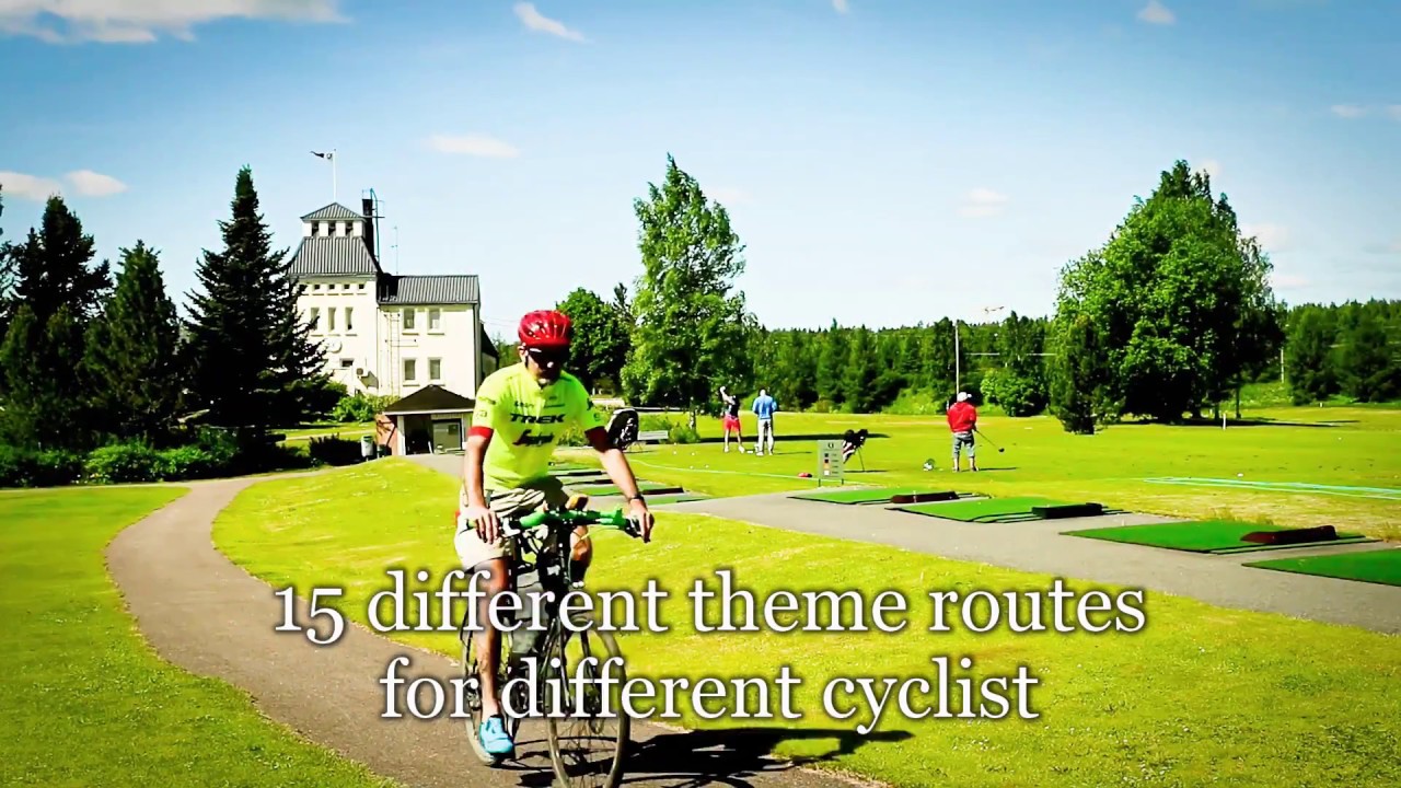
The Four Islands cycling route is about 51.9 km on our map as a continuous loop on Lake Saimaa through Imatra and Ruokolahti. It is one of fifteen South Karelia themed cycling products developed under a 2018 project led by the South Karelia Regional Council: the release stressed following tracks from a phone or GPS bec...
Managed by
Trail info
Partner materials recommend riding clockwise for the smoothest flow even though the written description follows the polyline in the opposite sense. The 2018 regional project assumed GPS or app navigation rather than coloured blazes along the whole line.
Route direction
Recreation Area
Recreation Area
Archipelago
Archipelago
Island
Island
Lake
Lake
River
River
Open / Good Condition
Open / Good Condition
Activities allowed
Bike
Activity
Terrain & conditions
51.9 km
Distance
Roughly four and a half hours of steady riding for the mapped distance without long visits; museums, beaches, and meals spread the outing across one or two days.
Est. Time
Mixed asphalt main roads and local streets with roughly twelve kilometres of gravel links; partner statistics quote about three quarters asphalt and one quarter gravel by distance.
Surface
Loop, Wide Track
Route Type
Partial Shade
Shade
Moderate Traffic
Traffic
Location
Explore nearby
Rate & Review
Be the first to write a review for "Four Islands cycling route"
Share a photo from a recent trip
Answers to your questions
Our data was researched from Ruokolahti, and other trusted sources, in March 2026. Our route / place GPX data comes from Metsähallitus / Lipas, last updated March 2026. Always check their official website for safety-critical updates.
Four Islands cycling route51.9 km
Route
Video
Videos
Description
The Four Islands cycling route is about 51.9 km on our map as a continuous loop on Lake Saimaa through Imatra and Ruokolahti. It is one of fifteen South Karelia themed cycling products developed under a 2018 project led by the South Karelia Regional Council: the release stressed following tracks from a phone or GPS bec...
Managed by
Trail info
Location
Partner materials recommend riding clockwise for the smoothest flow even though the written description follows the polyline in the opposite sense. The 2018 regional project assumed GPS or app navigation rather than coloured blazes along the whole line.
Route direction
Recreation Area
Recreation Area
Archipelago
Archipelago
Island
Island
Lake
Lake
River
River
Open / Good Condition
Open / Good Condition
Activities allowed
Bike
Activity
Terrain & conditions
51.9 km
Distance
Roughly four and a half hours of steady riding for the mapped distance without long visits; museums, beaches, and meals spread the outing across one or two days.
Est. Time
Mixed asphalt main roads and local streets with roughly twelve kilometres of gravel links; partner statistics quote about three quarters asphalt and one quarter gravel by distance.
Surface
Loop, Wide Track
Route Type
Partial Shade
Shade
Moderate Traffic
Traffic
Explore nearby
Rate & Review
Be the first to write a review for "Four Islands cycling route"
Share a photo from a recent trip
Answers to your questions
Our data was researched from Ruokolahti, and other trusted sources, in March 2026. Our route / place GPX data comes from Metsähallitus / Lipas, last updated March 2026. Always check their official website for safety-critical updates.