Kyrönkankaan museum road (Nummijärvi to Kantti)
Route
Description
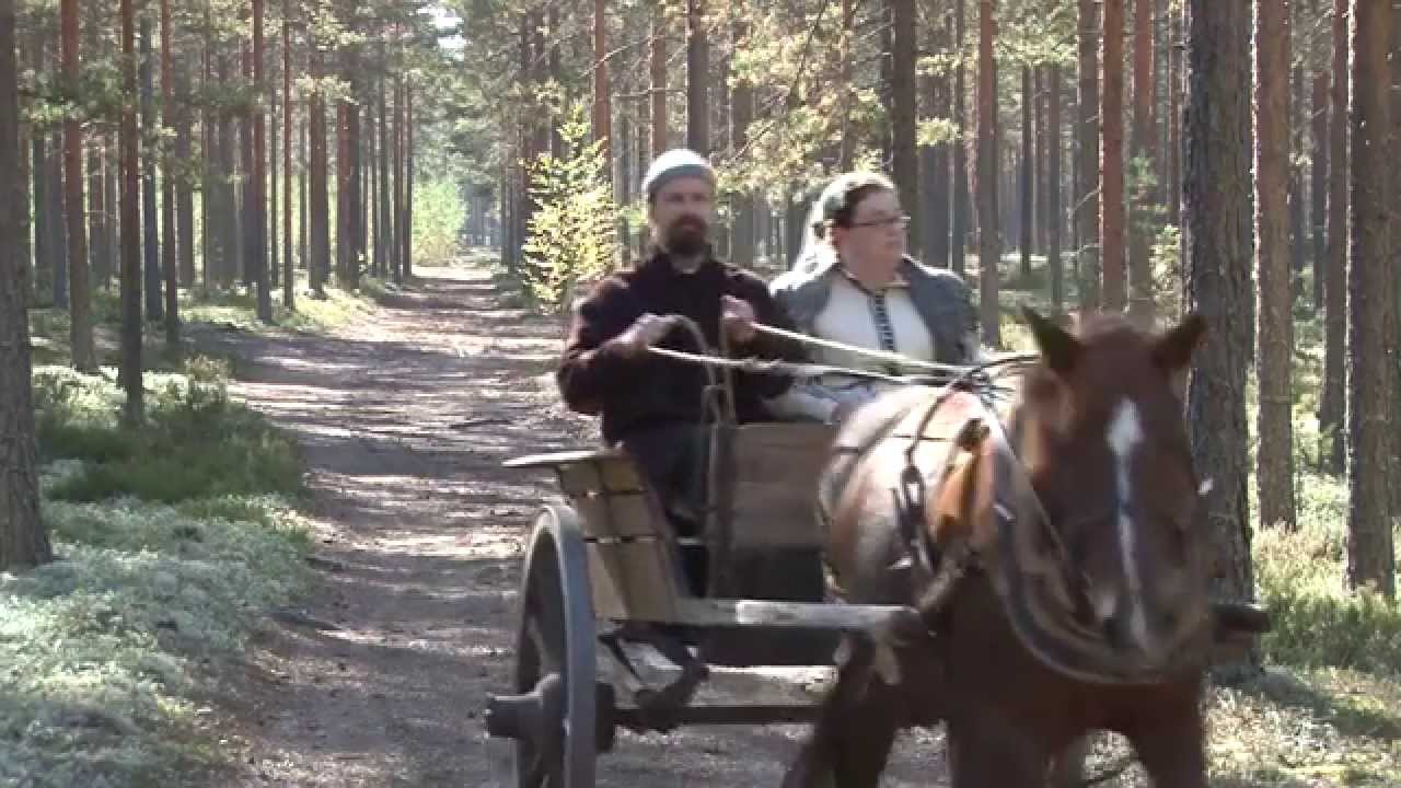
Kyrönkankaan museotie is about 25,5 km as a point-to-point ride on a preserved medieval highway between Nummijärvi in Kauhajoki and Kantti in Karvia, crossing Kauhanevan–Pohjankangas National Park. For distances, difficulty, GPX planning, and driving directions to the recommended start at Nummijärvi Camping, use the La...
Managed by
Trail info
Usually ridden from Nummijärvi toward Kantti as described on the Geopark page; you can return the same way or loop back via Taiteiden reitti or other signed connectors.
Route direction
Junction signposts and trail signage; no single colour marking system is highlighted for the whole museum road.
Route Signs
Open / Good Condition
Open / Good Condition
Activities allowed
Hike / Walk
Activity
Bike
Activity
Terrain & conditions
25.5 km
Distance
About 2 hours cycling at the Geopark’s listed pace; allow longer with breaks at Kauhalammi, Salomaa, and Nummikangas.
Est. Time
Firm sand and gravel forest road, gravel and barrier-free plank sections on the Kauhaneva crossing, short asphalt link where the museum road meets Karviantie.
Surface
Point-to-Point, Wide Track
Route Type
Light Traffic
Traffic
Location
Explore nearby
Rate & Review
Be the first to write a review for "Kyrönkankaan museum road (Nummijärvi to Kantti)"
Share a photo from a recent trip
Answers to your questions
Our data was researched from Karvia, and other trusted sources, in March 2026. Our route / place GPX data comes from Metsähallitus / Lipas, last updated March 2026. Always check their official website for safety-critical updates.
Kyrönkankaan museum road (Nummijärvi to Kantti)25.5 km
Route
Video
Videos
Description
Kyrönkankaan museotie is about 25,5 km as a point-to-point ride on a preserved medieval highway between Nummijärvi in Kauhajoki and Kantti in Karvia, crossing Kauhanevan–Pohjankangas National Park. For distances, difficulty, GPX planning, and driving directions to the recommended start at Nummijärvi Camping, use the La...
Managed by
Trail info
Location
Usually ridden from Nummijärvi toward Kantti as described on the Geopark page; you can return the same way or loop back via Taiteiden reitti or other signed connectors.
Route direction
Junction signposts and trail signage; no single colour marking system is highlighted for the whole museum road.
Route Signs
Open / Good Condition
Open / Good Condition
Activities allowed
Hike / Walk
Activity
Bike
Activity
Terrain & conditions
25.5 km
Distance
About 2 hours cycling at the Geopark’s listed pace; allow longer with breaks at Kauhalammi, Salomaa, and Nummikangas.
Est. Time
Firm sand and gravel forest road, gravel and barrier-free plank sections on the Kauhaneva crossing, short asphalt link where the museum road meets Karviantie.
Surface
Point-to-Point, Wide Track
Route Type
Light Traffic
Traffic
Explore nearby
Rate & Review
Be the first to write a review for "Kyrönkankaan museum road (Nummijärvi to Kantti)"
Share a photo from a recent trip
Answers to your questions
Our data was researched from Karvia, and other trusted sources, in March 2026. Our route / place GPX data comes from Metsähallitus / Lipas, last updated March 2026. Always check their official website for safety-critical updates.