Norppapolku Trail
Route
Description
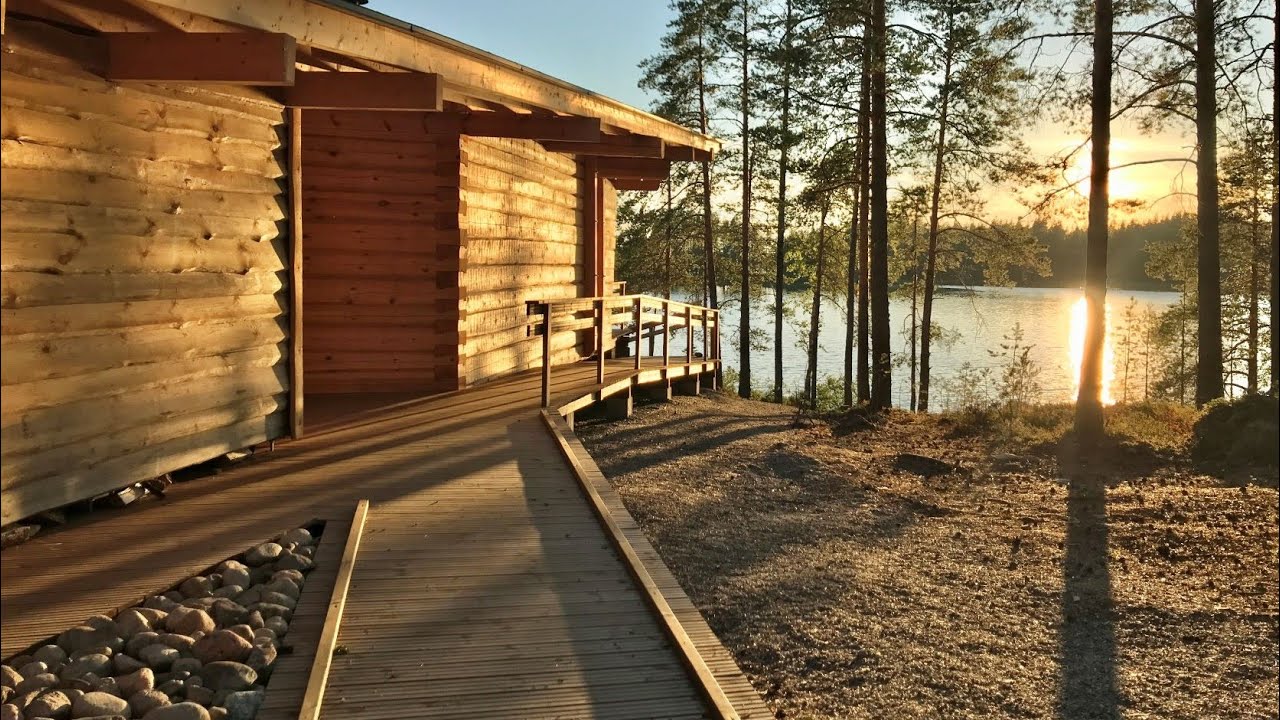
Norppapolku Trail is about 12.8 km as a loop around forested shores and eskers on Lake Saimaa in Puumala, South Savo. The name refers to the Saimaa ringed seal, the emblematic species of the region. For current distances between the three ring options, winter notes, the Norppa lean-to, parking, and etiquette (fires onl...
Managed by
Trail info
Either direction; clockwise is slightly easier underfoot.
Route direction
Recreation Area
Recreation Area
Lake
Lake
Metal trail posts plus paint blazes on trees. The full long loop uses one colour; Kitulan lenkki, Kaivannon kieppi, and Kotkatsaaren kierros each have their own paint colours on shorter options.
Route Signs
Open / Good Condition
Open / Good Condition
Activities allowed
Run
Activity
Hike / Walk
Activity
Terrain & conditions
12.8 km
Distance
Allow about three to four hours for the full loop at a normal walking pace; a reported full circuit took about three hours and twenty minutes excluding long breaks.
Est. Time
Mostly forest soil and sand, rocky lakeshore sections, short road connectors between loops; generally dry enough for ordinary trainers in fair weather.
Surface
Loop, Single Track
Route Type
Moderate Traffic
Traffic
Partial Shade
Shade
2020, 2021
Renovation years
Location
Explore nearby
Rate & Review
Be the first to write a review for "Norppapolku Trail"
Share a photo from a recent trip
Answers to your questions
Our data was researched from Puumala, and other trusted sources, in March 2026. Our route / place GPX data comes from Metsähallitus / Lipas, last updated March 2026. Always check their official website for safety-critical updates.
Norppapolku Trail12.8 km
Route
Video
Videos
Description
Norppapolku Trail is about 12.8 km as a loop around forested shores and eskers on Lake Saimaa in Puumala, South Savo. The name refers to the Saimaa ringed seal, the emblematic species of the region. For current distances between the three ring options, winter notes, the Norppa lean-to, parking, and etiquette (fires onl...
Managed by
Trail info
Location
Either direction; clockwise is slightly easier underfoot.
Route direction
Recreation Area
Recreation Area
Lake
Lake
Metal trail posts plus paint blazes on trees. The full long loop uses one colour; Kitulan lenkki, Kaivannon kieppi, and Kotkatsaaren kierros each have their own paint colours on shorter options.
Route Signs
Open / Good Condition
Open / Good Condition
Activities allowed
Run
Activity
Hike / Walk
Activity
Terrain & conditions
12.8 km
Distance
Allow about three to four hours for the full loop at a normal walking pace; a reported full circuit took about three hours and twenty minutes excluding long breaks.
Est. Time
Mostly forest soil and sand, rocky lakeshore sections, short road connectors between loops; generally dry enough for ordinary trainers in fair weather.
Surface
Loop, Single Track
Route Type
Moderate Traffic
Traffic
Partial Shade
Shade
2020, 2021
Renovation years
Explore nearby
Rate & Review
Be the first to write a review for "Norppapolku Trail"
Share a photo from a recent trip
Answers to your questions
Our data was researched from Puumala, and other trusted sources, in March 2026. Our route / place GPX data comes from Metsähallitus / Lipas, last updated March 2026. Always check their official website for safety-critical updates.