Hyvinkää health forest trail
Route
Description
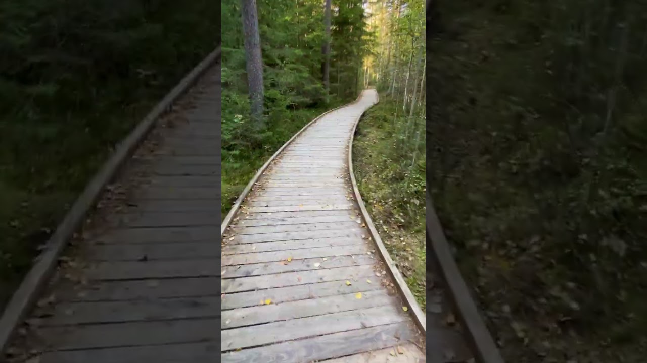
Hyvinkää health forest trail is about 2,4 km of easy-to-moderate walking through the Tehtaansuo mire and old-growth patches barely ten minutes from the city centre in Uusimaa. The City of Hyvinkää opened Terveysmetsä after a preceding health-forest study that shaped the path layout and wellness programming; the same pa...
Trail info
Walkers following the city map typically use the full route counter-clockwise after the accessible spur rejoins the forest ring.
Route direction
Recreation Area
Recreation Area
Orange for the accessible option and yellow for the full trail on the official map; spruce-shaped wooden arrow posts along the ground route.
Route Signs
Stroller Friendly
Accessibility
Wheelchair Accessible
Accessibility
Open / Good Condition
Open / Good Condition
Activities allowed
Hike / Walk
Activity
Terrain & conditions
2.4 km
Distance
About 45–60 minutes on foot for most walkers; the City of Hyvinkää suggests roughly one hour.
Est. Time
Dirt / Duckboards / Gravel
Surface
Single Track, Wide Track
Route Type
Partial Shade
Shade
Moderate Traffic
Traffic
2019
Construction year
2020
Renovation years
Location
Explore nearby
Rate & Review
Be the first to write a review for "Hyvinkää health forest trail"
Share a photo from a recent trip
Answers to your questions
Our data was researched from Hyvinkää, and other trusted sources, in March 2026. Our route / place GPX data comes from Metsähallitus / Lipas, last updated March 2026. Always check their official website for safety-critical updates.
Hyvinkää health forest trail2.4 km
Route
Video
Videos
Description
Hyvinkää health forest trail is about 2,4 km of easy-to-moderate walking through the Tehtaansuo mire and old-growth patches barely ten minutes from the city centre in Uusimaa. The City of Hyvinkää opened Terveysmetsä after a preceding health-forest study that shaped the path layout and wellness programming; the same pa...
Trail info
Location
Walkers following the city map typically use the full route counter-clockwise after the accessible spur rejoins the forest ring.
Route direction
Recreation Area
Recreation Area
Orange for the accessible option and yellow for the full trail on the official map; spruce-shaped wooden arrow posts along the ground route.
Route Signs
Stroller Friendly
Accessibility
Wheelchair Accessible
Accessibility
Open / Good Condition
Open / Good Condition
Activities allowed
Hike / Walk
Activity
Terrain & conditions
2.4 km
Distance
About 45–60 minutes on foot for most walkers; the City of Hyvinkää suggests roughly one hour.
Est. Time
Dirt / Duckboards / Gravel
Surface
Single Track, Wide Track
Route Type
Partial Shade
Shade
Moderate Traffic
Traffic
2019
Construction year
2020
Renovation years
Explore nearby
Rate & Review
Be the first to write a review for "Hyvinkää health forest trail"
Share a photo from a recent trip
Answers to your questions
Our data was researched from Hyvinkää, and other trusted sources, in March 2026. Our route / place GPX data comes from Metsähallitus / Lipas, last updated March 2026. Always check their official website for safety-critical updates.