Karelianpolut / Hutsi Trail
Route
Description
The Hutsi Trail is a demanding mountain-bike circuit near the Hutsin urheilukeskus sports campus in Kitee, North Karelia. On the mapped line it runs about 6.6 km; the City of Kitee and Visit Karelia typically describe the ride at roughly 7 km for their published loop. For GPX downloads, marker colours, the Kareli...
Managed by
Trail info
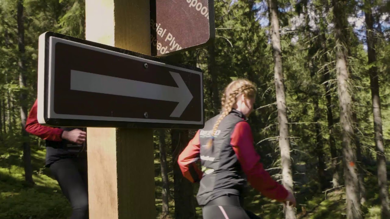
Follow red markers from the VesPeli parking info board toward the ice hall and into the forest; the circuit can be ridden in either direction. For Peltola Trail or Talvi Trail, take the posted connector toward blue markings.
Route direction
Red paint and posts on the main Hutsi summer line. Connector to Peltola follows blue once on the blue-marked network. Yellow marks local nature paths that link at junctions—these are not tuned for cycling.
Route Signs
Open / Good Condition
Open / Good Condition
Activities allowed
Bike
Activity
Hike / Walk
Activity
Run
Activity
Terrain & conditions
6.6 km
Distance
Visit Karelia suggests about 1 h by mountain bike for their published Hutsi loop timing.
Est. Time
Mix of technical forest singletrack, machine- or ski-compacted base, roots and rocks in places.
Surface
Loop, Single Track
Route Type
Light Traffic
Traffic
Location
Explore nearby
Rate & Review
Be the first to write a review for "Karelianpolut / Hutsi Trail"
Share a photo from a recent trip
Answers to your questions
Our data was researched from Kitee, and other trusted sources, in March 2026. Our route / place GPX data comes from Metsähallitus / Lipas, last updated March 2026. Always check their official website for safety-critical updates.
Karelianpolut / Hutsi Trail6.6 km
Route
Video
Videos
Description
The Hutsi Trail is a demanding mountain-bike circuit near the Hutsin urheilukeskus sports campus in Kitee, North Karelia. On the mapped line it runs about 6.6 km; the City of Kitee and Visit Karelia typically describe the ride at roughly 7 km for their published loop. For GPX downloads, marker colours, the Kareli...
Managed by
Trail info
Location
Follow red markers from the VesPeli parking info board toward the ice hall and into the forest; the circuit can be ridden in either direction. For Peltola Trail or Talvi Trail, take the posted connector toward blue markings.
Route direction
Red paint and posts on the main Hutsi summer line. Connector to Peltola follows blue once on the blue-marked network. Yellow marks local nature paths that link at junctions—these are not tuned for cycling.
Route Signs
Open / Good Condition
Open / Good Condition
Activities allowed
Bike
Activity
Hike / Walk
Activity
Run
Activity
Terrain & conditions
6.6 km
Distance
Visit Karelia suggests about 1 h by mountain bike for their published Hutsi loop timing.
Est. Time
Mix of technical forest singletrack, machine- or ski-compacted base, roots and rocks in places.
Surface
Loop, Single Track
Route Type
Light Traffic
Traffic
Explore nearby
Rate & Review
Be the first to write a review for "Karelianpolut / Hutsi Trail"
Share a photo from a recent trip
Answers to your questions
Our data was researched from Kitee, and other trusted sources, in March 2026. Our route / place GPX data comes from Metsähallitus / Lipas, last updated March 2026. Always check their official website for safety-critical updates.