Karelianpolut Peltola Trail
Description
The trail is about 7.4 km as one mountain-biking trace through forest west of Kitee town. Published materials for the blue-marked Peltola circuit often round the full ride to about 8 km and describe it as beginning and ending at the same trailhead. For downloadable GPX, marker colours, the network introduction vi...
Managed by
Trail info
City and tourism pages describe the blue-marked summer line as returning to the same Arppentie 6 trailhead; follow posted markers through junctions toward Hutsi Trail when using Karelianpolut / Yhdysreitti.
Route direction
Winter Maintenance
Winter Maintenance
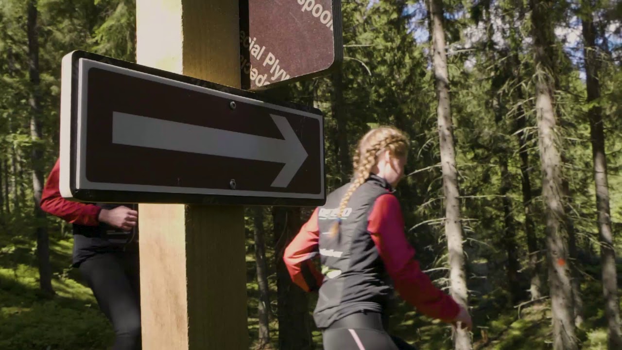
Blue blaze or signs on the main summer line; Talvi Trail (winter segment) marked blue and white.
Route Signs
Open / Good Condition
Open / Good Condition
Activities allowed
Hike / Walk
Activity
Bike
Activity
Terrain & conditions
7.4 km
Distance
About 1:45–2:15 h by mountain bike for most riders on the published circuit timing from Visit Karelia.
Est. Time
Mix of forest singletrack, wider machine- or ski-groomed bases, and wooden bridges over the trickiest spots.
Surface
Loop, Single Track
Route Type
Light Traffic
Traffic
Location
Explore nearby
Rate & Review
Be the first to write a review for "Karelianpolut Peltola Trail"
Share a photo from a recent trip
Answers to your questions
Our data was researched from Kitee, and other trusted sources, in March 2026. Our route / place GPX data comes from Metsähallitus / Lipas, last updated March 2026. Always check their official website for safety-critical updates.
Karelianpolut Peltola Trail7.4 km
Video
Videos
Description
The trail is about 7.4 km as one mountain-biking trace through forest west of Kitee town. Published materials for the blue-marked Peltola circuit often round the full ride to about 8 km and describe it as beginning and ending at the same trailhead. For downloadable GPX, marker colours, the network introduction vi...
Managed by
Trail info
Location
City and tourism pages describe the blue-marked summer line as returning to the same Arppentie 6 trailhead; follow posted markers through junctions toward Hutsi Trail when using Karelianpolut / Yhdysreitti.
Route direction
Winter Maintenance
Winter Maintenance
Blue blaze or signs on the main summer line; Talvi Trail (winter segment) marked blue and white.
Route Signs
Open / Good Condition
Open / Good Condition
Activities allowed
Hike / Walk
Activity
Bike
Activity
Terrain & conditions
7.4 km
Distance
About 1:45–2:15 h by mountain bike for most riders on the published circuit timing from Visit Karelia.
Est. Time
Mix of forest singletrack, wider machine- or ski-groomed bases, and wooden bridges over the trickiest spots.
Surface
Loop, Single Track
Route Type
Light Traffic
Traffic
Explore nearby
Rate & Review
Be the first to write a review for "Karelianpolut Peltola Trail"
Share a photo from a recent trip
Answers to your questions
Our data was researched from Kitee, and other trusted sources, in March 2026. Our route / place GPX data comes from Metsähallitus / Lipas, last updated March 2026. Always check their official website for safety-critical updates.